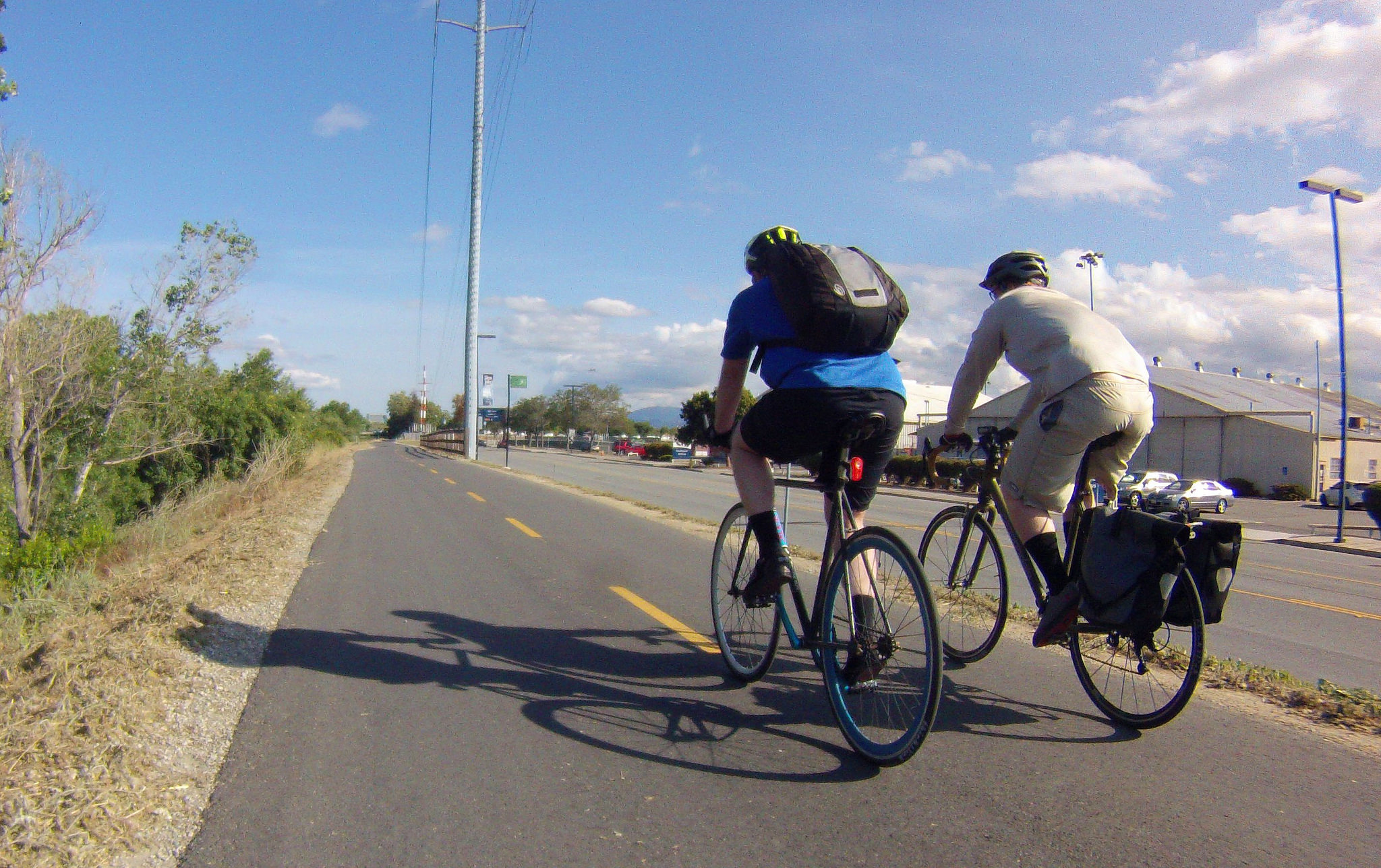
In May, the California Department of Transportation awarded the Santa Clara Valley Transportation Authority (VTA) with $800,000 in funding to conduct a Central Bikeway Feasibility Study, which is the first phase in VTA’s Bicycle Superhighway project. The money comes from the Caltrans Sustainable Communities Grant Program geared towards greenhouse gas (GHG) emissions reductions. The grant is being matched by approximately $104,000 from VTA’s budget.
“We competed in a statewide competition for the grant and are really pleased to get it,” said Lauren Ledbetter, Senior Transportation Planner for VTA’s Bicycle and Pedestrian Program.
“The study for will be done by VTA and in collaboration with municipal staff from San Jose and Santa Clara, Santa Clara County and Caltrans as well as community-based organizations. The endpoint of the study is to identify a preferred alternative for the low-stress bikeway.”
The bikeway is envisioned to be a continuous, paved 10-mile bicycle superhighway that runs along the El Camino (State Route 82)/Central Expressway/Caltrain corridor, connecting residents and workers to the San Tomas Aquino Creek, Guadalupe River and Coyote Creek trails and to the Berryessa BART station in San Jose.
The bike superhighway exists within a larger framework of VTA’s efforts to develop a grid of low-stress bikeways throughout 12 major transportation corridors in the county, known as the Countywide Bike Plan. VTA first embarked upon outreach efforts for the plan in 2015 and continued gathering community feedback until 2018. According to Ledbetter, the common refrain from residents was the desire to see a stronger East-West bike connection through the county. “This study is the first step towards that,” she said.
The study is geared toward tackling the numerous challenges that are posed by implementing a superhighway, such as how to get around the San Jose International Airport, which occupies a large land area bisecting the East-West corridor. Then there are other challenges like how to circumvent bridges, freeways and rail lines. However, it’s the existence of these challenges that has made the superhighway necessary, as it’s currently much more difficult to navigate east to west across the county by bike than it is north to south.
“It will be geared toward both recreational use and commuters,” Ledbetter said. “There will be an emphasis on connectivity with places like the Lawrence Caltrain station that has seen a lot of new development, trails, San Jose Airport, light rail and BART.”
Ledbetter explained that many people are already utilizing existing bikeways for their work commute, sometimes even long distances from San Jose to northern Silicon Valley. These bike commuters will often use public transit and Caltrain for part of the way and trails for the rest.
San Jose’s popular system of trails has a documented robust ridership. According to that City’s Annual Trail Report, there were 2,424 riders counted during a 12-hour period on Sept. 12, 2018, where the Guadalupe River meets River Oaks Parkway. All of the seven trail counts conducted showed an increase in ridership over prior years’ numbers, with Guadalupe River at Riverpark Towers showing a 23.2 percent increase over the 2017 count.
The superhighway is expected to make commuting by bike even more feasible, which will not only be a boon to residents but should cut traffic congestion and reduce GHG emissions due to fewer gasoline-powered vehicles on the road. Although GHG emissions reductions estimates weren’t calculated for VTA’s Caltrans grant application, the Silicon Valley Loop trail study offers some key findings. Study scenarios specifically designed for the county found that, “The effect of trails alone — a fully built and connected trail loop independent of additional transit — almost doubles the emissions reduction compared with existing conditions, a partially built trail network.”
“We’re not necessarily expecting that people will bike every day, but a lot of people will bike once per week or once per month — that will have a lot of impact,” stated Ledbetter.
The study will officially kick off in October when the VTA will begin advertising for a consultant. Community outreach will start in January 2020 and the study should be complete by February 2022.


It’s encouraging to know that efforts are underway to connect existing projects into a grid and that East-West travel will be addressed. That connectivity to transit hubs is key, too, transit ridership increases when cyclists are accommodated. Santa Cruz County is building a 32-mile long trail parallel to the branch rail line and will soon have a truly integrated rail with trail system networked with Metro bus service, spelling 100% relief from highway congestion!